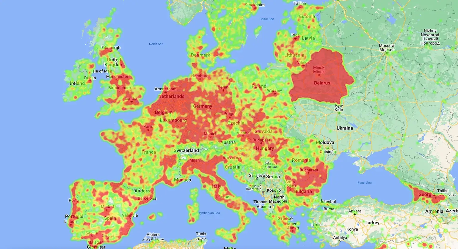
Satellite Data
This high resolution (^6×6 km) dataset is designed and intended
to showcase the european gridded emission inventory for air
quality and climate modelling. The data covers the years
2000-2017. The objective is to provide transparency on emissions
per sector and country to drive investments into the areas that
needed most.